- Cadastral Surveyors
- Engineering Surveyors
- Land Surveyors
Cadastral Surveyors – Moree
Where do you need it?
How It Works
- Cadastral Surveyors
- Building Surveyors
- Engineering Consultants
Become a supplier
- Cadastral Surveyors
- Engineering Surveyors
- Engineering Consultants
- Cadastral Surveyors
- Building Surveyors
- Engineering Surveyors
- Cadastral Surveyors
- Geotechnical Engineering
- Land Surveyors
About
- Cadastral Surveyors
- Land Surveyors
- Engineering Surveyors
Need more Results?
Related Searches in Moree
Want to Know More?

Report uncovers trends in construction admin technology
What we have learned from MYOB’s 2022 Bold Ambition report Talk to ...
Cadastral Surveyors in Moree
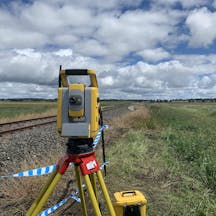
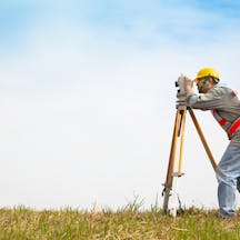
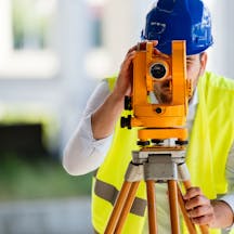
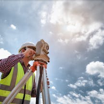
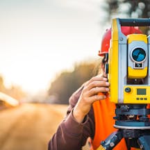
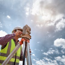
Looking for premium cadastral surveying services in Moree? iseekplant can easily connect residents with expert cadastral surveyors in Moree with affordable and flexible rates in your area. Through our online marketplace, residents can easily find licensed cadastral surveying companies in Moree who will use technology, tools, historical evidence, and recorded documents to accurately survey land and property boundaries. Take a look at our listings of cadastral surveyors in Moree to find the one that works for you and even get a quick quote.
What to Expect from a Cadastral Survey
A cadastral survey is primarily used to define, mark, and re-establish boundaries in matters related to laws of land ownership and definition of property boundaries. This survey gives land managers, owners, and the public information to correctly determine the ownership rights and privileges one has to make decisions related to the land.
It involves interpreting and advising on boundary locations, restrictions, and interests of the property, the status of the land ownership, and the noting of this information for plans and maps as well. Cadastral surveying is a branch of land surveying, and only licensed contractors are allowed to perform cadastral or boundary surveying and mark areas as boundaries. This is why it is important to choose a reputable and licensed cadastral surveyor in Moree.
The cadastral surveyor handles a wide range of tasks, including using technology and tools like geodetic control, data collection, data processing, analysis, and map modifications. The first step is called the resurvey, where the surveyor obtains all documents from the owner of the land as well as maps of the property and adjoining areas. The surveyor can also collect records from the government offices and any other prior surveys of the area. A thorough search is done to gather all possible documents.
The surveyor then looks at the documents for any errors, and then a field survey is begun. This includes going over the entire property, finding corners, and marking them down while noting all properties, fences, walls, monuments, and buildings on the land. After this, the surveyor compares this data with the old data obtained, and a solution for a boundary that best fits the property corners is reached. Once this has been done, the property features and lines can be established and then turned into plans or maps.
Cadastral surveying services are usually used for property subdivisions, identification surveys, location certificates, and detail or contour surveys. Many advanced features like robotic stations, scanners, and GPS systems and software are used by fast and efficient cadastral surveyors in Moree at reasonable prices.
Find Reputable and Experienced Cadastral Surveyors Near You
iseekplant provides the listings of trusted and expert cadastral surveyors in Moree. We’ve assisted projects nationwide by supplying qualified surveyors. If cadastral surveyors are not available in your area, you can try looking at surveyors in Narrabri, Goondiwindi, Inverell, Boggabri or Tenterden. You might also be interested in some other services we have listed, such as Building Surveyors, Surveyors and Mining Surveyors.
