Also available:
Ground Penetrating Radar
Electronic Locating
Drain Camera Inspection
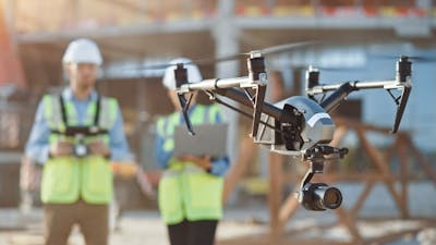
Cadastral maps produced by UAV survey drones are high-accuracy, quick, and easy to make - even in complex or difficult environments. For the best and brightest survey companies hiring out drones, look below for Canberra-based suppliers.
Also available:
Ground Penetrating Radar
Electronic Locating
Drain Camera Inspection
Also available:
Total Station
Engineering Surveyors
Engineering Consultants
Also available:
Total Station
Laser Levels
Land Surveyors
Also available:
1t - 3.5t Mini Excavator
Earthmoving
Excavation
Also available:
UAV and Drone
Also available:
DJI UAV and Drone
Leica Total Station
Engineering Surveyors
Also available:
GPS Machine Control Systems
Land Surveyors
Engineering Surveyors
Also available:
Poly Welding Equipment
Poly Welding
Rigging
Also available:
Laser Levels
Total Station
Engineering Surveyors

What we have learned from MYOB’s 2022 Bold Ambition report Talk to ...

Every business wants to make use of the best technology and create the b...