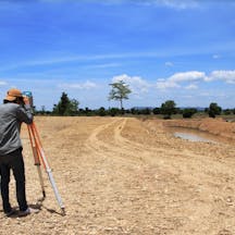
Land Surveyors – Katherine
Where do you need it?
How It Works
- Land Surveyors
- UAV and Drone
- GPS Machine Control Systems
About
- Land Surveyors
- UAV and Drone
- Building Surveyors
About
- Land Surveyors
- UAV and Drone
- Civil Engineering Consultants
About
About
Become a supplier
About
- Land Surveyors
- Cadastral Surveyors
- Engineering Surveyors
Need more Results?
Related Searches in Katherine
Want to Know More?

Digital reign - shining a light on cloud-based construction software
As the world begins to embrace a “new normal” in the wake of the COVID-1...
Surveyor Cost Guide 2022- Get a free quote | iseekplant
In another era, today's surveyors may have been cartographers or what th...
Types of Surveyors & Costs 2022- Find a surveyor | iseekplant
Have you ever wondered how large structures or long distances are measur...
Expert Land Surveyors in Katherine
Are you looking for expert land surveyors in Katherine that could provide quality services at affordable prices? If so, we at iseekplant can help you to connect with reliable land surveying contractors in Katherine. Our online marketplace offers a list of licensed land surveyors available across Katherine who are well versed with the latest technologies. To find the right land surveyor in Katherine, visit our listings today and get a quote.
What to Expect from a Land Survey
A land survey is a process of measuring and mapping an area using the latest tools and equipment. A land surveyor is well-versed with sophisticated software and complex calculations to map an area located anywhere on earth.
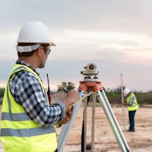
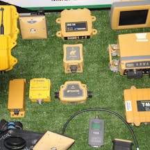
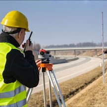
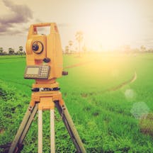
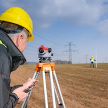
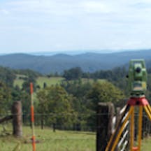
A land surveyor has to work in dedicated offices as well as on-fields. They make use of high order GPS technologies, aerial/terrestrial scanners, and Theodolites (Robotic Total Stations) on-field for accurate measurements. Taking pictures for evidence, mapping the area, making sophisticated computations are some of the basic things that they do.
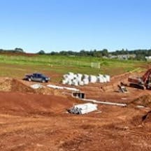
At the office, a land surveyor makes use of professional software like Auto-Cad to study the location and draft plans. Their job can vary from studying a mine to major construction works and land subdivisions. The role of land surveyors is integral to the construction industry as the work proceeds only after their thorough land exploration. They guide the workers, architects, and engineers to ensure reliable, long-lasting, and safe construction.
Other than this, land surveying also plays a major role in the planning and development of roads, landscapes, and public utilities. Surveying makes sure that the land allocated is utilised optimally. Land surveyors also make use of laser scanners to obtain detailed data with reliable information without utilising much man-power. This makes an economical and reliable option for land surveying.
There are locations where the landscapes are oriented in a rather complex manner. Construction at such places requires accurate and reliable mapping, designing, and computation to ensure a healthy and stable structure. Also, past surveys of properties are bound to have miscalculations and improper mapping, which can only be handled with careful land surveying.
Land surveying companies make use of specialised standardisation, error minimisation, and calibration techniques for efficient surveying. This makes the job of a land surveyor critical to effective and optimal land development with efficient mapping, calculations, planning, and design drafting.
Find Reputable and Experienced Land Surveyors Near You
iseekplant provides the listings for trusted and experienced land surveyors in Katherine. We’ve assisted projects nationwide by supplying qualified surveyors. You can also view our land surveyors in Palmerston, Darwin, Maningrida, Kalkarindji or Kununurra if you can't find them in your specific area. We also provide several related services you might be interested in, such as Cadastral Surveyors, Mining Surveyors and Building Surveyors.
