Try Gofer
Gofer is an AI sourcing tool powered by iseekplant.
Tell Gofer what you need and it will help you create a job request and connect you with relevant local suppliers.
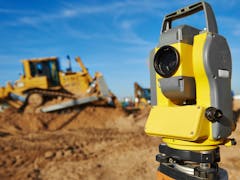
RIS Drones is a specialist drone surveying and aerial mapping company, providing high-precision data and imaging solutions for a range of industries. Our team consists of experienced drone pilots with backgrounds in OSH, construction, mining, TV production, and military operations, allowing us to tailor solutions to each client’s unique needs. By leveraging cutting-edge drone technology and an extensive network of industry contacts, we deliver accurate, efficient, and cost-effective aerial surveying services. Whether for site mapping, infrastructure inspections, or large-scale surveying, we offer reliable and innovative solutions to support your project.
Gofer is an AI sourcing tool powered by iseekplant.
Tell Gofer what you need and it will help you create a job request and connect you with relevant local suppliers.